Scroll for ES
———————-
EN
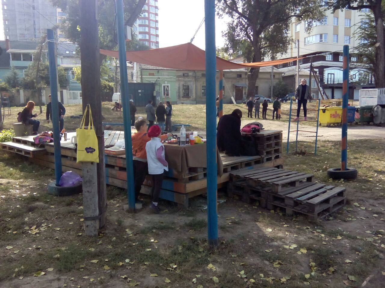
This project has its roots in the framework of the European project SPACES, and the history of Oberliht engagement in Zaikin park starts from the “Mapping the Public Space in Chisinau” workshop organized in collaboration with Eugen Panescu from Planwerk(Cluj, Romania) in July 2012. As a result of this workshop were identified 10 abandoned public spaces, but which are still keeping the potential of an opening or reactivation, located along the imaginary axis of the Cantemir Boulevard and it’s red lines. For each of this spaces was elaborated a descriptive card about the state of the space, its problems and potentialities for future, Zaikin Park was one of this spaces.
cantemir Boulevard appears in general plans of the development of the city, immediately after the second world war, the reason for building the boulevard, according to Sciusev (The architect of Chisinau between 1945-1947), was to connect the “bottom” of the city with the “top” part of the Chisinau. Nowadays the topic is still intense discussed. The construction of this boulevard would destroy the street and the social network of the city center and would include the lose of some important infrastructure for the identity of the city.
Following this short background description, the objectives of the project are:
1) Preventing the construction of the artery
2) Revitalization and rehibilitation of the park
3) Building a comunity around the park by involving the inhabitants in the activities organized in the park
—————————
ES
Este proyecto surge dentro del proyecto Europeo SPACES, y del compromiso de la asociación Oberliht en el Parque Zaikin que se inició en el taller ”Mapping the Public Space in Chisinau”, organizado con la colaboración de Eugen Panescu de Planwerk (Cluj, Romania) en Julio de 2012. Como resultado de este taller se descubrieron 10 espacios públicos abandonados pero que mantienen el potencial de poder ser abiertos o reactivados, situado a lo largo del eje imaginario del Bulevar Cantemir y sus líneas rojas.Para cada uno de estos espacios se elaboró una tarjeta descriptiva sobre el estado del espacio, sobre sus problemas y potenciales para el futuro, el Parque Zaikin fue uno de estos espacios. El Bulevar Cantemir aparece en los planes generales del desarrollo de la ciudad inmediatamente después de la segunda guerra mundial, la razón fué para la construcción del bulevar, según Sciusev (arquitecto de Chisinau entre 1945-1947) con la idea de conectar el ”fondo” de la ciudad con la parte ”superior de Chisinau. Hoy en día sigue siendo un intenso debate. La construcción de este bulevar destruiría la calle y red social del centro de la ciudad e incluiría la pérdida de algunas de sus importantes infraestructuras de la identidad de la ciudad. Tras esta pequeña descripción los objetivos del proyecto son:
1) Prevenir la construcción de la arteria
2) Revitalización y rehabilitación
3) Construir una comunidad alrededor del parque mediante la participación de los habitantes en las actividades organizadas en este.


